
Do you enjoy hiking? If the Rocky Mountain State is on your list for hitting the hiking trails, here’s an app you shouldn’t be without: COTREX, the Colorado Trail Explorer app. Not only does COTREX post real-time advisories—including seasonal wildlife closures, safety hazards, and other essential trail alerts—now there’s a new feature: active fire alerts.
COTREX app data from 236 land managers
 The COTREX app is a free, user-friendly app that provides authoritative trail information across local, state, and federal agencies. More than 236 land managers have contributed data on 45,076 miles of trail across the state. COTREX is unique in that it works directly and exclusively with land managers, parks, and open spaces. This ensures that the information on the platform comes from a reliable, trusted source.
In addition to getting the “straight scoop” on trail conditions, users can plan routes and view allowed-use types such as hiking, biking, OHV, and snow sports. They can download offline maps, and see trip recommendations from participating partners around the state. All of this is at no cost.
New fire alert feature
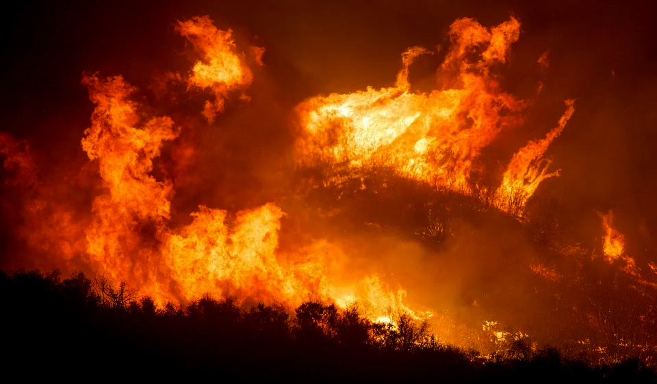 COTREX now includes daily wildfire and prescribed burn alerts from trusted sources like InciWeb and the National Interagency Fire Center (NIFC).
- Alerts will automatically appear on the website and app, providing descriptions, boundaries, and links to additional resources when available.
- Wildfire and prescribed burn information is checked daily by COTREX.
- Management agencies that do not report to InciWeb or the NIFC systems can post their wildfire and prescribed burn alerts, though not every agency participates.
“COTREX is a powerful tool for researching trails,” said State Trails Program Coordinator, Joe O’Brien. “We’re really excited to release this fire alert feature. We’re committed to increasing the amount of official information we can provide to help the public recreate safely and responsibly around the state. Even if you use other trail apps, we always recommend checking COTREX for alerts or closures and downloading a free map in case of poor cell service.”
This tool is designed to help outdoor recreationists make informed decisions about exploring an area. Wildfires are unpredictable, and conditions can change rapidly, even minute by minute. All information in COTREX comes directly from the best available public sources, but it can still vary in accuracy and timeliness. Always contact local authorities for the most up-to-date information. Alerts will not update when outside of cell service or on downloaded maps.
Know before you go
Coloradans and out-of-state visitors play an integral role in keeping our public lands clean, living in harmony with wildlife, and making the outdoors safer to explore. A best practice for responsible recreation is to “know before you go” by checking the weather and closures for where you plan to explore and changing your outdoor plan based on the forecast and conditions.
Before heading outside, COTREX is a valuable tool to help the outdoor community stay safe and know travel advisories to avoid hazardous fire conditions and potential search-and-rescue operations.
##RVT1156b
Thank you, Russ and Tina! 🙂 I wonder how widespread cell service in Colorado is? Certainly the greater the coverage area, the more useful the application will be so all updates arrive in a timely manner. Interesting development either way. 🙂 Thanks again and safe travels, Russ and Tina! 🙂