


When I first moved to Baja, Mexico, part-time a number of years back (see this book for more details), I was searching for a good Baja California Road Atlas. I found that a popular choice had gone out of print when I discovered the Baja California Road & Recreation Atlas, and I am glad I did! This is an essential companion for anyone exploring the full length of the Baja California Peninsula—from the border cities of Tijuana all the way down to the southern tip at Cabo San Lucas. Meticulously crafted by Benchmark Maps, this atlas sets a new standard in road mapping and outdoor navigation.
As a frequent traveler in Baja, this book has saved my behind many a time. That’s because once you get outside of populated areas, which encompasses a whole lot of the best parts of Baja, there is no internet connectivity (unless you carry Starlink or another satellite service). Even while traveling, regular Starlink doesn’t work. But this book has you covered!
Benchmark Maps has long been known for innovation in cartography since its founding in 1995, and this atlas is no exception. The integration of vibrant visuals with highly accurate data shows the company’s commitment to both form and function.
What makes this atlas stand out is its balance of beauty and utility. Benchmark’s signature Landscape Maps™ provide stunning, shaded relief and land cover detail at a scale of 1:300,000, offering travelers a clear and immersive look at Baja’s rugged terrain. For broader planning, Regional Maps (1:1,000,000) and more detailed city-specific Recreation Maps (1:150,000 for areas like La Paz, Ensenada, and Los Cabos) ensure no corner of the peninsula goes unexplored.
What I especially like about the Baja California Road & Recreation Atlas
• More than just roads, this book is a comprehensive guide to recreation opportunities, historic sites, campgrounds, and side-trip recommendations.
• I love the practical travel tips—like the reminder to fuel up whenever possible in remote areas where gas stations are scarce.
• It’s accurate (at least so far it has never steered me wrong and I have been using it for several years).
• It’s detailed. I am continually amazed at its level of detail.
What can be improved?
Honestly, nothing. Whether you’re planning a major road trip or seeking hidden gems far off-the-beaten-path, the Baja California Road & Recreation Atlas is hands-down the best recreation map product on the market for this part of the world. It’s a reliable, beautiful, and information-rich tool.
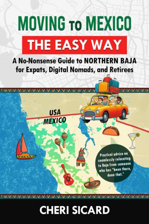 CHERI WROTE A BOOK!
If you’re a reader of RVtravel.com, then you know Cheri Sicard, who has been writing for us for a few years. Cheri’s newest book, Moving to Mexico the Easy Way: A No-Nonsense Guide to Northern Baja for Expats, Digital Nomads, and Retirees, is here. If you’ve ever been curious about moving to or RVing around Northern Baja, this guide is for you. (Here’s the e-book version if you prefer a digital copy.) Congratulations, Cheri!
RELATED
- The joys of snowbirding in Baja California, Mexico
- Visiting the very cool Airstream City in San Felipe, Baja California, Mexico
- Our experience going to Mexico for dental work
- We just crossed into Mexico in our RV—and it was easy!
RVT1213

Thank you for the recommendation, Cheri! I don’t expect to live in Mexico, and may never visit, but I like having books by people I know. So, hopefully we meet some day. Have a great week and safe travels!
That would be lovely to meet someday Neal. I remember Dave Solberg telling me what a great time he had meeting you. You are on the east coast, no?