By J.R. Montigel
If you have been on the road much lately, you have probably encountered a lot of road construction. It happens every summer, right? Most often it does not disrupt your driving much, if at all. Other times, you may be stuck in a long construction zone waiting for a flagger to turn his or her sign to allow you to pass.
I just came across the map above from DriveTexas from the Texas Department of Transportation. All those little yellow triangles represent road construction locations. Each one can be clicked to reveal details. I must say that seeing those hundreds of places noted on one graphic is an eye-opener.
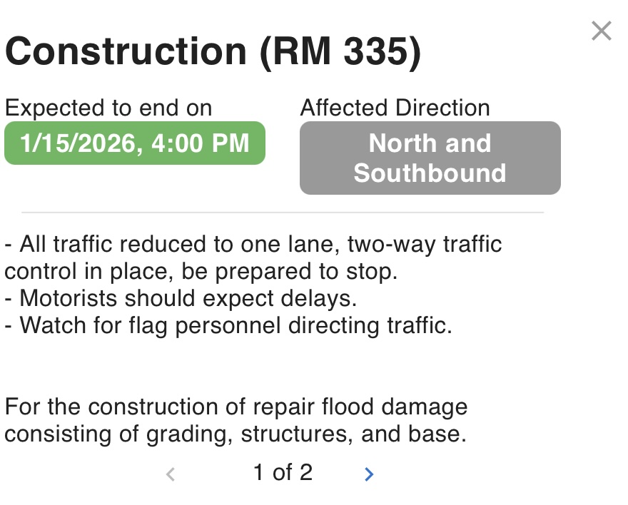
Here’s an example of a clicked “detail” note:
The blue, circular graphics represent road closures. Other conditions are noted when they exist, including flooding.
How current is the information displayed on DriveTexas?
The information displayed on the chart above is updated 24 hours a day. The map automatically refreshes at 5-minute intervals when viewing the site.
This chart is definitely worth checking when traveling in Texas. Other states have similar resources on their own websites. All are worth consulting before heading out on a trip. Look for apps, too. Please leave a comment about how you check for road conditions.
The reason I bring this up is because of my reaction to stumbling upon this Texas map. I would have never imagined that so much road work was underway at one time.
RELATED
- Discovering Bandelier National Monument: An amazing journey through time
- Amazing free Texas camping
- Texas’ first state park welcomes you to visit and camp
- Take a tour on Route 66 in Texas, including 7 ghost towns!
- WOW! Free Texas camping with unlimited stays
- Death Valley roads and popular attractions to close until 2026
- The most dangerous U.S. roads for RVs
RVT1221